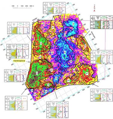
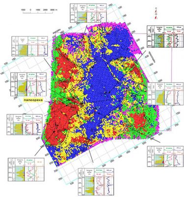
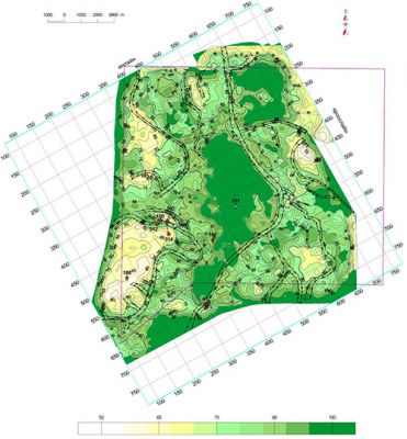
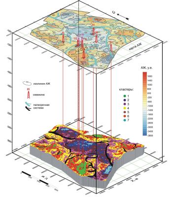
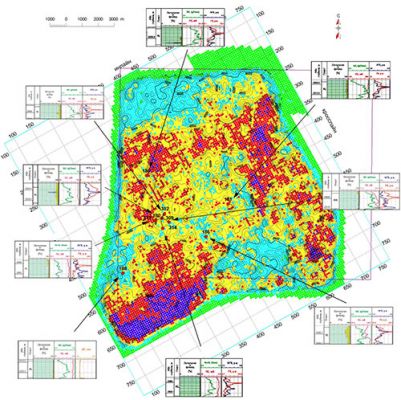
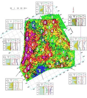
With the help of one of the image recognition methods (cluster analysis), the problem of determining the facial zone substitution is solved. This method uses high-resolution seismic data and digital models of various geological indicators in the form of the corresponding distributions of three-dimensional grids.
Consequently, facies groups are studied in the targeted deposits (including in thin-layer reservoirs). In addition, the maps of cluster distribution are built based on AI values or on a given geological indicators set.
The facies identification in the clustering results of the studied deposits is based on their correlation with the electrometric models and their respective sedimentary facies models (reference analogues).
One of the main directions for the study of the detailed internal structure and lithologic-facies variability of productive deposits is when the conditions to form deposition (sedimentation) are determined with the use of clustering and forecast of various facies groups in order to identify areas of facial substitution, the heterogeneity deposits in the targeted zones.
Together with the established geological indicators, the results of facies analysis allows to determine the optimal locations for further prospecting and to identify promising areas for further discovery (drilling-in) of oil-perspective objects via oil wells.

